“`html
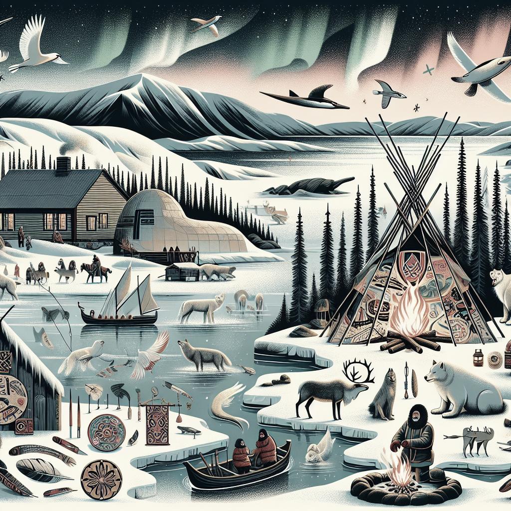
How to Navigate Northern Landscapes
Exploring northern landscapes can be an exhilarating yet challenging experience. Mastering navigation skills is key to ensuring a safe and enjoyable journey. This guide will cover a range of methods for navigating through these rugged terrains, including traditional techniques such as using the sun, stars, and natural features, as well as modern tools like the Gaia GPS. Whether you’re trekking through dense forests, traversing tundra, or simply planning your route for a stargazing adventure, these insights will equip you to confidently navigate northern landscapes. Dive into each of these navigation strategies to enhance your outdoor experience.
Start with the Big Picture on the Map
Before setting out, it’s crucial to have a clear understanding of the entire area you plan to explore. Studying a topographic map provides an overview of significant features, such as mountains, rivers, and valleys. These large elements serve as important reference points that help in orienting yourself within a broad context. Familiarizing yourself with the area’s layout can also help in identifying potential hazards and planning safe routes.
In addition to physical maps, digital mapping tools provide a dynamic view of the terrain. They allow for the zooming in and out to grasp both macro and micro details of your route. Employ mapping software to layer additional data such as weather forecasts, trail conditions, and geographic interests. These insights create a comprehensive understanding essential for effective navigation.
Zoom In on the Map to Identify Handrails
Once you have the larger picture, zooming in identifies ‘handrails’—natural features that align with your path of travel. These can include ridgelines, river courses, or paths that run parallel to your intended route. Using handrails provides a tangible guide during excursions, reducing the chance of veering off course and boosting confidence in unfamiliar territory.
By closely examining maps and correlating them with the landscape, you can identify visual markers that confirm your location along a path. By understanding how each feature connects, overall navigation becomes a series of manageable checkpoints rather than a daunting expansive journey.
Let Water Be Your Guide in Backcountry Navigation
Bodies of water, such as rivers and lakes, are often reliable navigational aids in northern landscapes. Not only do they provide direction, but they can also serve as consistent handrails in the wilderness. Identifying a watercourse on your map can help maintain your desired trajectory while providing opportunities for hydration and campsite locations.
Recognizing how water flows through the terrain assists in predicting landforms such as valleys and slopes. Understanding these patterns enhances the ability to make educated decisions about faster and safer routes, as well as where the landscape might present obstacles.
Use Treeline to Pinpoint Your Elevation
Northern landscapes often feature a distinct treeline marking the transition from densely forested areas to alpine or tundra environments. This natural boundary indicates elevation levels and can help determine your position when aligning with maps. Identifying the treeline guides decisions, especially as it relates to preparing for changing weather conditions.
In addition to acting as elevation markers, treelines often symbolize ecological changes. The flora and fauna transitioning as you move through these zones may offer clues about upcoming weather patterns or the availability of resources like water or wood for fire.
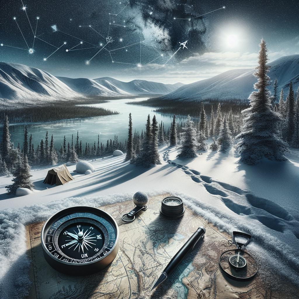
Navigate with the Sun for Direction of Travel
The sun is a classic navigation aid, providing important clues about direction and time. In northern climates, the sun moves across the southern part of the sky, offering consistent east-west lines of navigation, especially on clear days. By observing the sun’s position, travelers can align maps and plans accordingly.
To use the sun effectively, take note during peak sun hours when shadows are shortest to help determine due north. As it travels from east to west throughout the day, it provides an intuitive guide for maintaining direction over long distances.
Use Shadows For Clues on Cloudy Days
On cloudy days when direct sunlight isn’t visible, shadows remain a valuable navigational tool. Clouds often diffuse sunlight, causing softer shadows, but the angle and direction from which they fall are still telling. Carefully observe any visible shadows on rock formations or trees to stay on course.
Another technique is to use a stick and shadows to create a basic sundial. Place a stick in the ground and mark the tip of its shadow. After an hour, note the shift in shadow position to discern your east-west line. Even in the absence of full sun, these small clues illuminate the path ahead.
Use the Stars to Navigate North and South
When daylight fades, northern travelers can rely on celestial navigation. Stars have guided explorers for millennia, with consistent patterns providing direction even on the darkest nights. In the Northern Hemisphere, the North Star, or Polaris, indicates true north and simplifies route planning.
Recognizing constellations and the North Star not only assists navigation but enriches the outdoor experience. Gain proficiency in night sky features to enhance navigational toolkit, offering reassurance when trails aren’t clear.
How to Find the North Star
Locating Polaris in the night sky is crucial for navigation. The North Star is part of the Little Dipper constellation. Begin by finding the Big Dipper, a prominent set of stars, and draw an imaginary line from the two stars forming the outer edge of the Big Dipper’s bowl. Extend this line outwards, and it will point to Polaris.
Polaris remains relatively fixed due north and is especially beneficial when no other landmarks are visible. Its consistent position serves as a reliable reference point, framing your journey’s nighttime alignment.
In the Southern Hemisphere, Use the Southern Cross to Navigate
For those exploring southern environments, the Southern Cross constellation replaces Polaris as the navigation guide. It is recognizable by its distinctive cross shape and can be used to locate the South Celestial Pole, which serves the same purpose as the North Star.
Draw an imaginary line along the Southern Cross’s long axis to find the approximate position of the south celestial pole. This directional line aids in orienting yourself in relation to terrestrial features and marking latitude whilst navigating the southern skies.
Navigate with the Prevailing Wind
Wind patterns, consistent in northern latitudes, serve as both a navigational cue and a weather indicator. Observing wind direction and correlating it to known weather models offers timely guidance about navigating certain paths or expecting approaching weather fronts.
When natural landmarks are sparse, wind consistently blowing from a particular direction can give a sense of orientation. Pay attention to how local terrain may affect wind behavior, which can signify shifts in elevation or approaching terrain changes.
Find North and South with Moss
Moss growth patterns on trees provide subtle navigational clues, particularly in forested northern landscapes. Typically, moss favors the north side of trees in the Northern Hemisphere due to less sunlight exposure, aiding orientation when other methods aren’t viable.
Though not always foolproof, examining various trees and secondary vegetation offers supporting evidence for determining cardinal directions. Combine with other methods such as sun position or map orientation for increased accuracy in navigation.
Pay Attention To Your Surroundings
A robust sense of observation heightens your ability to navigate northern landscapes effectively. Cultivating awareness, taking note of changes in ambient sounds, weather shifts, or topographic transformations ensures you remain cognizant of evolving navigation conditions.
Paying attention to notable landmarks and regularly cross-referencing them with your maps strengthens the connection between map and terrain. This habit reduces risks associated with disorientation, instilling confidence across varying environments.
Watch this 8-minute Tutorial to Learn How to Create a Route in Gaia GPS
For those embracing modern technology, complementing traditional techniques with Gaia GPS enhances navigation capabilities. This 8-minute tutorial explores creating and fine-tuning routes in Gaia GPS for precise and personal journeys, utilizing digital mapping for real-time updates and route planning.
Taking advantage of technology promotes a balance between keeping the adventure free and maintaining a safety net, offering augmented insights without oversimplifying the experience. The ability to share routes and update maps heightens the preparation for any outdoor quest.
Record and Share Your Adventures with Gaia GPS
Gaia GPS incorporates features to record and share geo-tagged adventures, transforming navigation into collaborative exploration. The platform captures trails and conditions, enabling reflection but equally, provides valuable data for fellow adventurers tackling similar terrains.
Sharing experiences contributes to a community-based understanding of the landscapes, enhancing everyone’s preparedness and offering new insights for wandering through the northern expanses.
Discover Prime Stargazing Locations with Our New Light Pollution Map
For enthusiasts of celestial navigation, Gaia GPS’s light pollution map reveals prime stargazing locales. Uncover locations where darkness prevails, encouraging closer observation of cosmic patterns aiding both navigation and appreciation.
Integrating this tool for navigation and immersive experiences broadens the stargazer’s initiative beyond practical applications, delighting in nature’s spectacle while remaining resourceful.
New! See If You’ll Have Service with Enhanced Coverage Maps
Advanced coverage maps provided by Gaia GPS empower users to anticipate communication capabilities across diverse terrains. Knowing service areas in advance assists route planning, crisis management, and ensures better preparedness.
Prepare to venture confidently into areas where connectivity might be limited by leveraging these enhanced maps guiding communication expectations during adventure undertakings.
Find Prime Viewing for Total Solar Eclipse with Eclipse Map
The fascination with navigation finds a unique culmination in anticipating a total solar eclipse. Use Gaia GPS’s tailored eclipse map, which highlights premier viewing points for capturing this celestial marvel within northern landscapes.
Whether your goal is observation, photography, or simply appreciation, advance knowledge of eclipse paths enriches the experience and places spectators optimally within nature’s stunning exhibition.
2023 Mapped: Our Best New Features of the Year
Gaia GPS continuously evolves, presenting explorers with innovative features each year. In 2023, groundbreaking advancements uphold commitment to enhancing navigation efficiency and discovery potential.
Explore these enhancements, understanding how each tool contributes to diverse navigation strategies, inspiring deeper forays into unknown landscapes and reaffirming personal adventures.
Adjusting Our Gaia GPS Premium Prices
As technology evolves, so do the costs associated with maintaining top-tier services. Adjustments in Gaia GPS Premium pricing reflect continued improvements and unrivaled support for users aspiring to navigate diverse terrains.
The investment engages users with cutting-edge navigation tools and innovations, delivering invaluable resources for all adventure levels.
How to Use Maps to Help Avoid Avalanches
Avalanches present a significant risk in northern environments, and understanding snowpack conditions is crucial. Gaia GPS provides maps focusing on avalanche-prone locations, empowering users to make informed decisions about route safety.
Using these maps, learn to recognize hazardous formations, allowing proactive avoidance and preserving safety during mountain or snowfield excursions.
Meet the Redesigned Gaia GPS
Gaia GPS’s latest redesign supports intuitive usability and improved navigational capabilities for users at all proficiency levels. Featuring streamlined interfaces and new toolkit enhancements, the platform appeals to both seasoned explorers and newcomers.
Engage with the redesigned app, unraveling the increased clarity and support it offers, driving both confidence and knowledge growth throughout the navigational journey.
It’s Giving Season—Support What You Love
The privilege to navigate nature’s wonders elicits a desire to contribute to their preservation. Explore opportunities to support causes that resonate, aligning personal navigational goals with broader ecological stewardship.
Investing in preservation interprets the navigation spirit beyond physical boundaries, fostering an enduring bond with landscapes that fuel every adventure and exploration.
How to Find the Best Fall Foliage
Experiencing the northern landscapes during fall reveals the spectacular foliage transition. Gaia GPS aids enthusiasts in pinpointing prime locations to revel in seasonal wonders, offering data-driven recommendations for unforgettable excursions.
Immerse in these richly-hued vistas, supplementing navigation with guidance aimed at capturing the fleeting beauty inherent in this enchanting seasonal transformation.
| Navigation Strategy | Description |
|---|---|
| Start with the Big Picture on the Map | Gain a comprehensive view of the landscape to identify major features and plan your route. |
| Zoom In on the Map to Identify Handrails | Use specific natural features to guide your path and keep you on track. |
| Let Water Be Your Guide in Backcountry Navigation | Follow rivers and lakes for reliable navigation and resource locations. |
| Use Treeline to Pinpoint Your Elevation | Recognize treelines to determine elevation levels and anticipate weather conditions. |
| Navigate with the Sun for Direction of Travel | Use the sun’s position for aligning directions and maintaining your course. |
| Use the Stars to Navigate North and South | Employ celestial navigation techniques during nighttime for direction. |
| Navigate with the Prevailing Wind | Observe wind patterns as they reflect consistent directional cues and weather changes. |
| Find North and South with Moss | Utilize moss growth patterns on trees as an orientation aid. |
| Pay Attention To Your Surroundings | Stay alert to landmarks, sounds, and topographic changes for improved navigation. |
| Gaia GPS Utilization | Integrate Gaia GPS for detailed planning, recording, and sharing of navigation experiences. |
“`